

Vision Zero Safety Data
Vision Zero programs only work when you can see what's actually happening on the street, not what surveys say happens once a year. FusionSensor captures every pedestrian, cyclist, vehicle, and near-miss in real time so safety decisions are backed by real data, not estimates.
Crash Data Gaps
Most Vision Zero plans run out of momentum because the data behind them is stale, sparse, or after-the-fact. Real-time street data changes that.
Waiting on crash reports means you only learn about the worst outcomes after they happen. The near-misses, the speeders, the conflicts at unsignalized crossings go uncounted until somebody gets hurt.
Two days of jug counts every five years can't show you peak pedestrian volumes, mode split, or how kids actually walk to school. Vision Zero needs continuous data, not snapshots.
A speed survey captures one week, one corridor, one season. By the time the report lands on a planner's desk, conditions have changed and the speeding drivers are somewhere else.
Without continuous pedestrian counts, conflict data, and speed records, every safety project becomes a political fight over anecdotes instead of a clear case grounded in data.
Multimodal Detection Technology
The same sensor that counts cars also catches the near-miss, flags the speeder, and counts every pedestrian in the crosswalk.
AI vision classifies every vulnerable road user separately (pedestrians, cyclists, e-scooters, wheelchairs) so you know exactly who's using the space and where.
HD3D radar plus AI vision flags near-misses, jaywalking, and red-light running in real time. Get the data on conflicts before they become crashes.
Measure vehicle speeds at every crosswalk approach 24/7, not just during a one-week study. Spot the corridors where drivers consistently exceed Vision Zero target speeds.
All processing happens on the sensor itself. Only counts, classes, speeds, and conflict events leave the device. No video to the cloud, no PII, no facial data ever.
How FusionSensor scales from a single high-injury crosswalk to corridor-wide pedestrian intelligence without retrofitting every intersection separately.
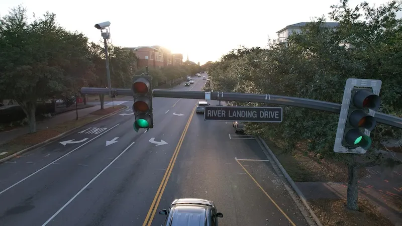
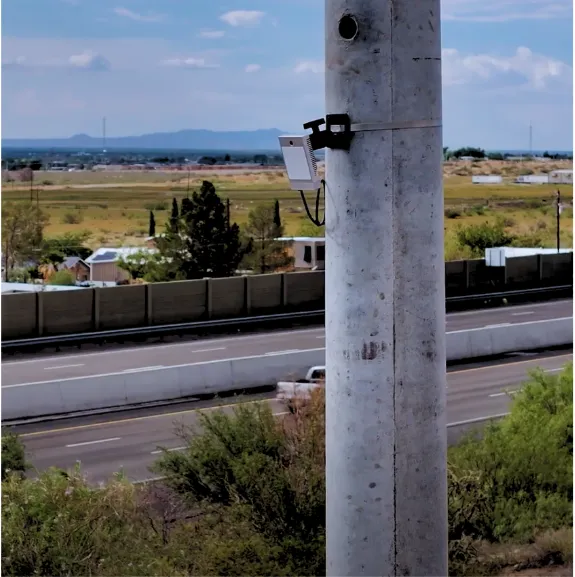
Mount a FusionSensor at a crosswalk, intersection, or corridor segment where you already know the safety issue lives. One device, mounted high, covers up to 120 degrees of view and 6 lanes.
Pedestrians, cyclists, scooters, wheelchairs, and vehicles are all classified separately and counted continuously. Conflict events, near-misses, and red-light running get flagged the moment they happen.
Pedestrian detections fire RRFBs, HAWK signals, and adaptive crosswalk timing through standard ITS protocols. No new master platform needed; your existing signal infrastructure just gets better inputs.
Long-term datasets quantify the before-and-after of every countermeasure you deploy, so the next round of Vision Zero funding is backed by hard evidence instead of anecdotes.
Near-Miss Analytics
Continuous classified counts at every crosswalk, bike lane, and shared-use path, broken down by hour, by day, by mode. Replace 2-day jug counts with always-on data.
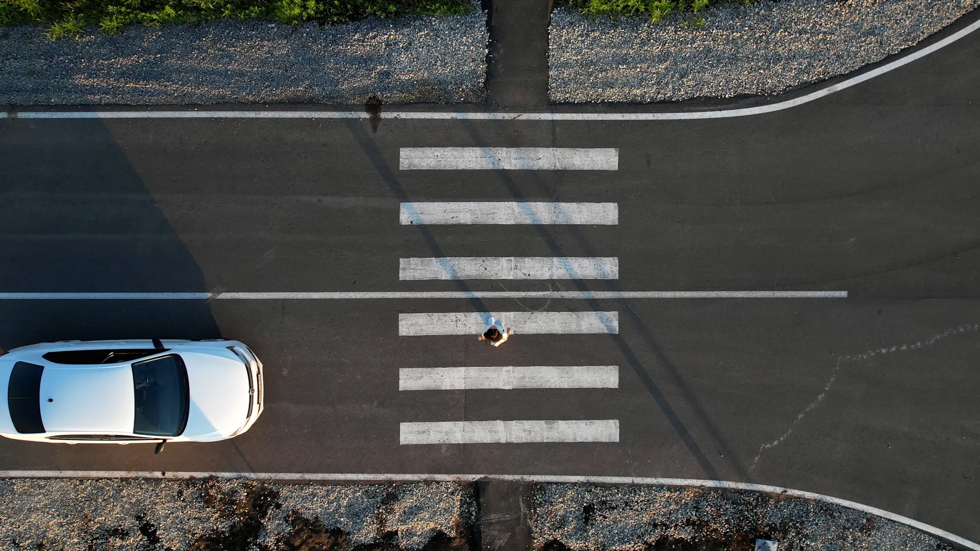
Vision Zero programs need to know who's using each street and when. FusionSensor gives you that picture without sending a counter to every site.
HD3D radar plus AI vision flag every conflict event in real time: vehicle vs pedestrian, vehicle vs cyclist, jaywalking, and red-light running. Get weeks of warning before a crash actually happens.
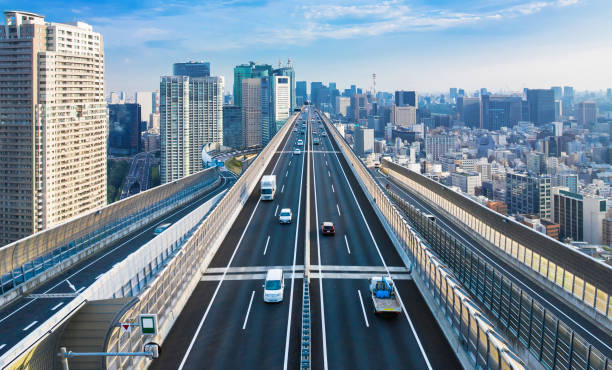
Measure approach speeds 24/7 at every crosswalk on the network. Spot the corridors where drivers consistently exceed Vision Zero target speeds, then validate countermeasures with real before-and-after data.
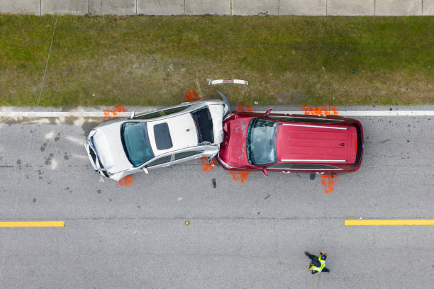
Compare vulnerable road user volumes and conflict rates across neighborhoods. Make sure the corridors getting funded are the ones where the most pedestrians and cyclists are actually exposed to risk.
FusionSensor produces continuous, audit-ready datasets at per-vehicle, per-pedestrian, per-conflict granularity. Exactly the evidence that HSIP, Safe Streets for All, and Vision Zero grants actually require.
Continuous pedestrian, cyclist, and conflict data from one roadside sensor. Let's map your first high-injury site and what comes after.
98.7% accuracy on counts and classification, day or night, in any weather. AI vision separates pedestrians from cyclists, scooter riders, and wheelchair users so your Vision Zero data reflects how the street is actually being used.
Yes. HD3D radar plus AI vision flag conflict events in real time (vehicle vs pedestrian, vehicle vs cyclist, jaywalking, red-light running). You get conflict data that crash reports never give you, weeks before an actual crash happens.
All processing happens on the sensor itself. Only counts, classes, speeds, and conflict events leave the device. No video streams to the cloud, no PII, no facial recognition, no license plate capture unless you explicitly enable it.
Yes. FusionSensor produces continuous, multi-month datasets at audit-ready granularity (per-vehicle, per-pedestrian, per-conflict). That's the kind of evidence Vision Zero grants, HSIP applications, and corridor master plans actually require.
Yes. FusionSensor streams pedestrian detection events through standard ITS protocols (NTCIP, SDLC, contact closure) so existing RRFBs, HAWK signals, and adaptive crosswalks fire automatically the moment a pedestrian is detected.
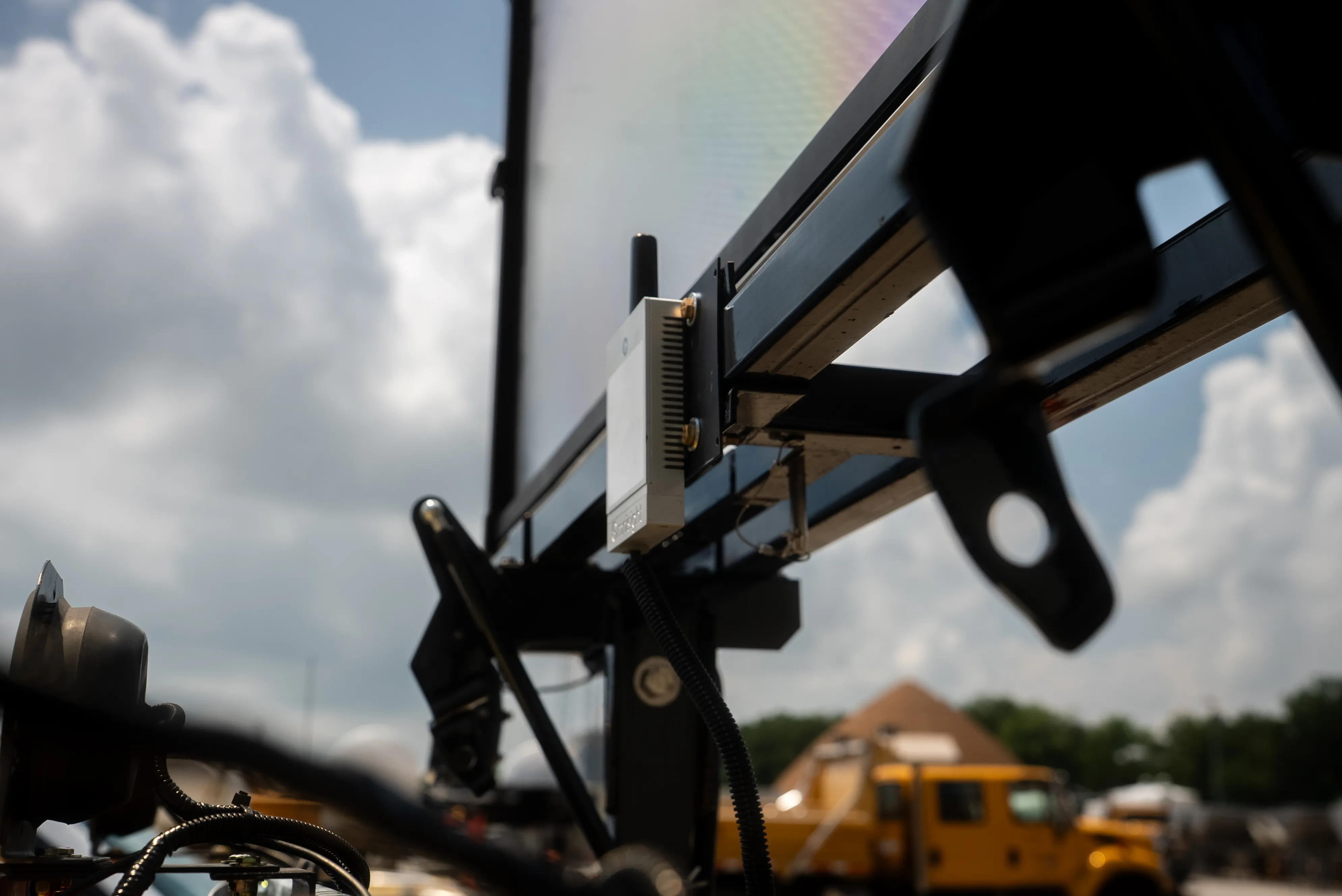
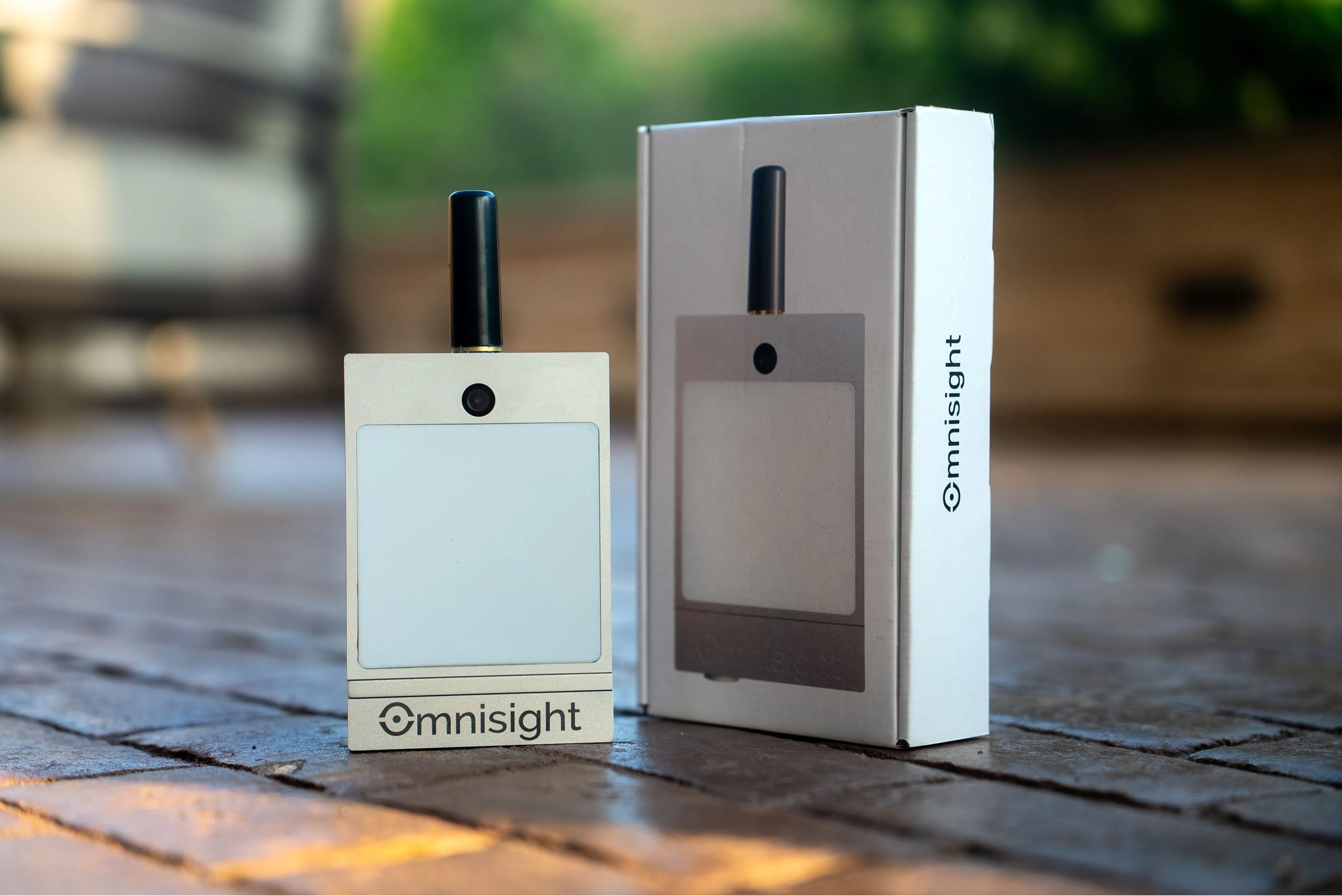
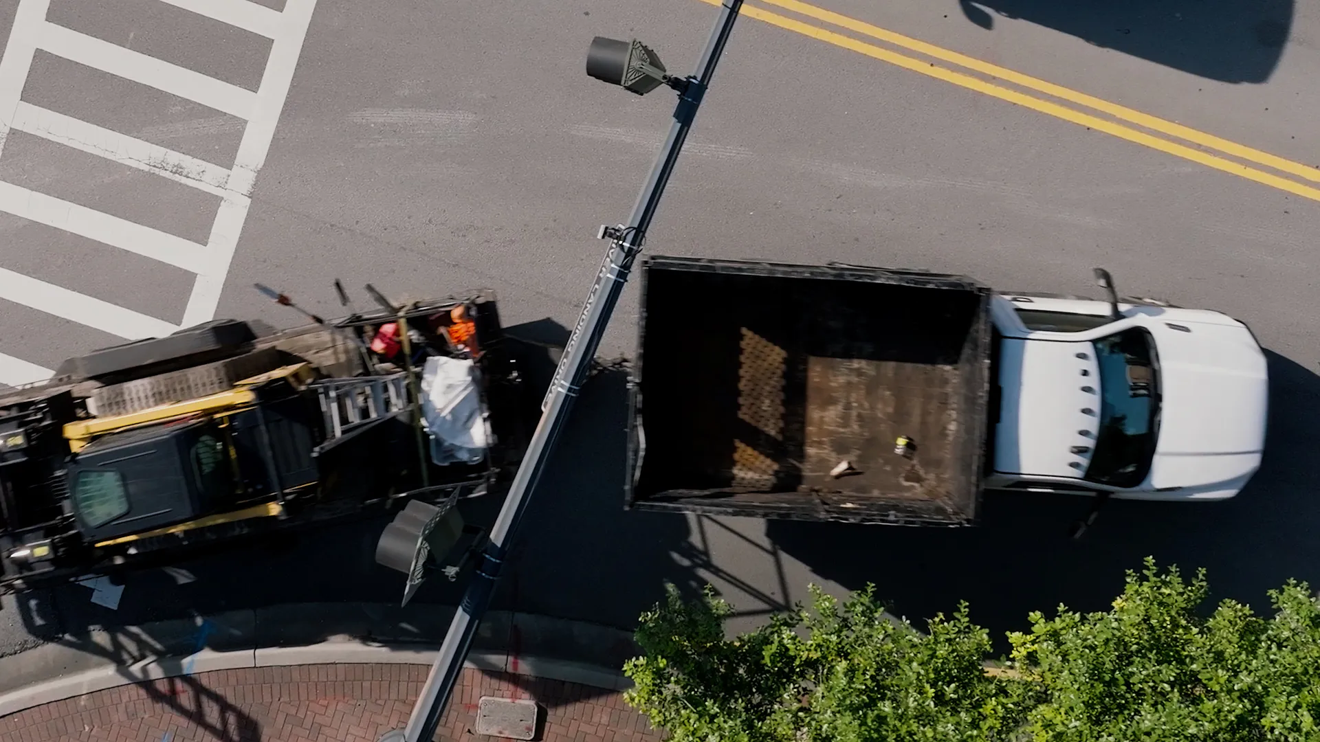
Each FusionSensor installs in under an hour on poles, rooftops, or light masts. It weighs 1.72 pounds, uses 12 to 15 watts average over PoE 802.3at or 802.3bt, and carries IP66 and NEMA 4 ratings for outdoor deployment in any climate.
A road safety strategy, adopted by cities worldwide, built on the position that no traffic death is acceptable and that fatalities are preventable through design, speed management, and data rather than blamed on individual error.
Continuous pedestrian and cyclist counts, vehicle speeds at crossings, and conflict events, not just crash reports. Crashes are too rare and too late to steer investment; exposure and near-miss data show where the next one is building.
Identifying conflict events (a vehicle braking hard for a pedestrian, a close pass on a cyclist, red-light running) as they happen. Near-misses occur far more often than crashes at the same locations, giving weeks of warning before an injury.
The stronger programs measure exposure and risk together: how many people walk and bike each corridor, how fast vehicles travel through crossings, and how often conflicts occur, then validate fixes with before-and-after data.
Federal programs including Safe Streets and Roads for All and HSIP fund safety projects, and both reward applications backed by real data. Continuous counts and conflict records are exactly the evidence those grant reviewers ask for.