
Connected Corridors and V2X
One AI sensor platform unifying signal timing, parking, work zones, school zones, and incident detection on every roadside.
Siloed City Systems
Most cities end up with a different vendor, box, and dashboard for every problem. That's not a smart city, that's a sprawl of pilots.
Every department buys its own sensors from its own vendor. Traffic, parking, transit, and public works each end up locked into a proprietary stack that can't talk to the others.
A different sensor for counts, another for parking, another for wrong-way, another for school zones. More poles, more power runs, more permits, and more truck rolls every time something needs maintenance.
Without unified real-time data across systems, operators see problems after they happen (incidents already on the freeway, ramps already spilling onto arterials, schools already at peak risk).
Counts go to one platform, video to another, alarms to a third. The data you paid to collect can't drive the systems that actually need it because nothing speaks a common language.
Connected Sensor Platform
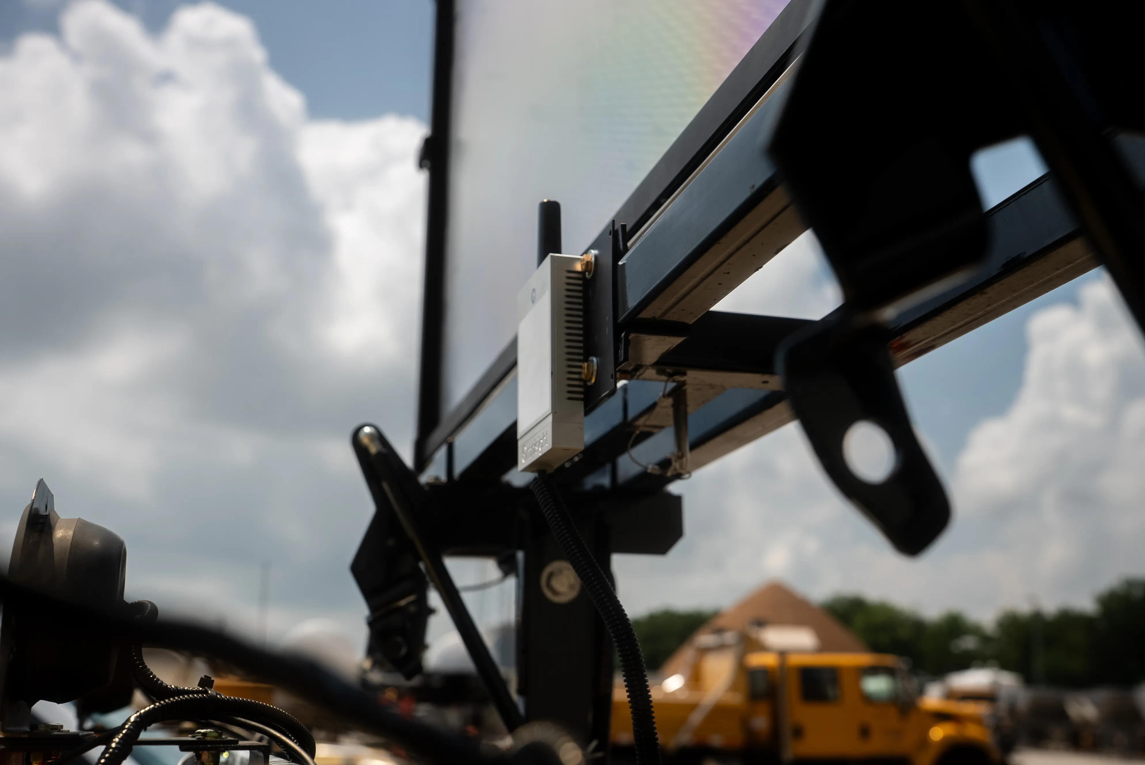
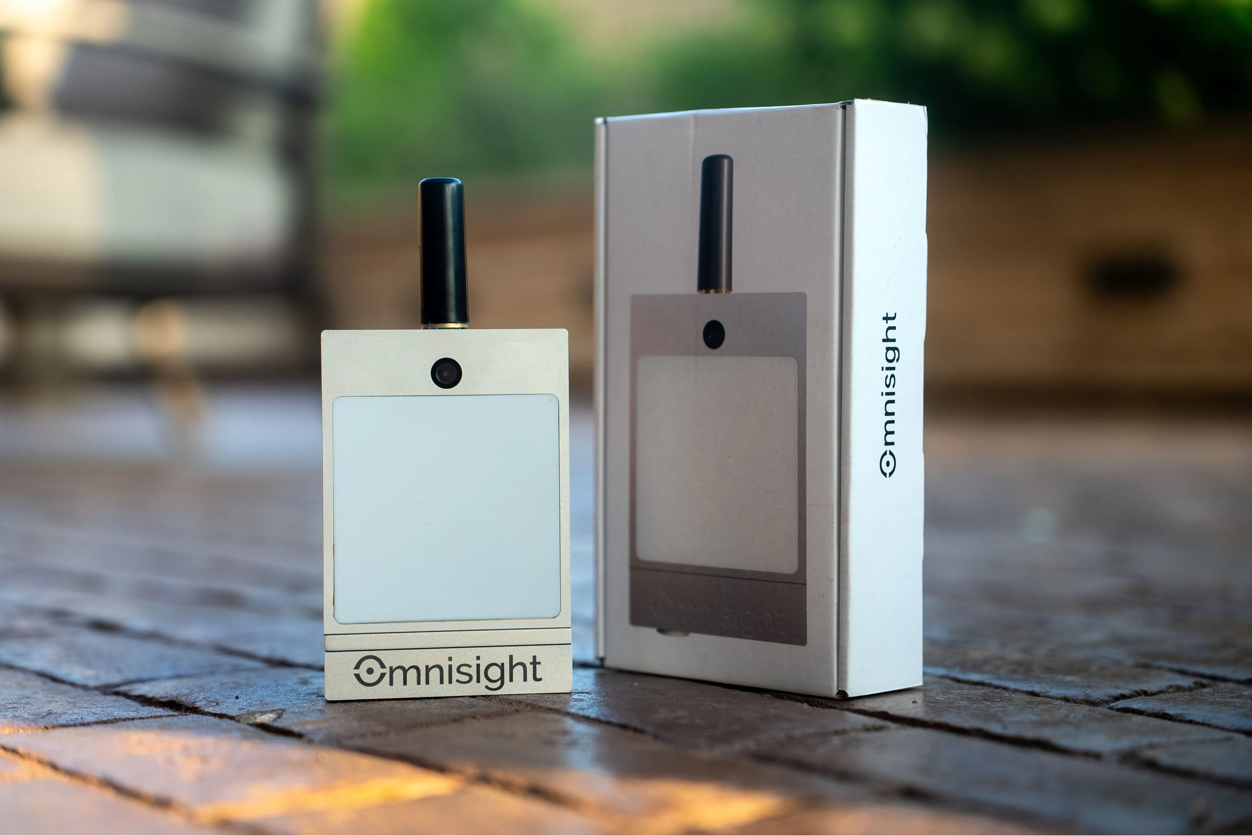
FusionSensor turns one piece of roadside hardware into the data backbone for every department in your city.
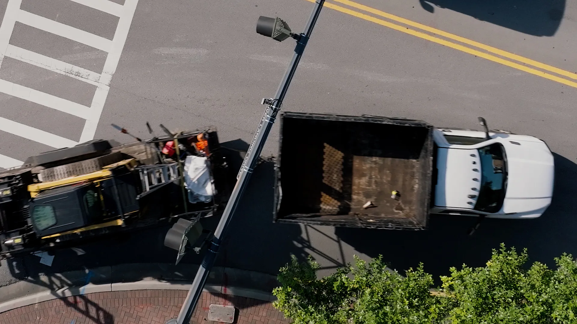
The same FusionSensor handles traffic counts, classification, parking occupancy, work zone intrusion, school zone speeds, wrong-way detection, and pedestrian safety. Turn on the analytics you need per site.
Stream out JSON, XML, NTCIP, SDLC, and MS2 over Ethernet, LTE, or WiFi. Your existing ATMS, TMC, parking platform, and ITS dashboards all consume the data natively, no proprietary middleware.
TrueEdge runs every analytic on the sensor itself for sub-100ms response. Omnisight Connect cloud handles fleet-wide configuration, historical reporting, and cross-site analytics across the whole deployment.
Traffic engineers, public works, transit operations, police, parking, and planning departments all draw from the same live data feed. One source of truth across every team that touches the right of way.
How FusionSensor scales from a single intersection to a citywide platform without rebuilding what you already have.
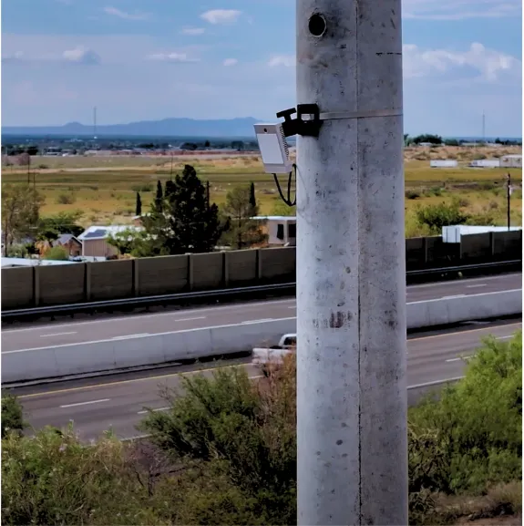
Mount a single FusionSensor on the pole. One install, one power run, one IP address. The unit covers up to 6 lanes with a 120-degree field of view and is rated for every weather condition.
Enable the analytics that matter at that site (counts, classification, parking, speeds, intrusion, wrong-way, pedestrian, ramp metering) via Omnisight Connect. No firmware swaps, no new hardware to truck out.
Data flows into your TMC, ATMS, parking platform, transit dashboard, and incident management system in their native protocols. No new master platform required, no rip and replace.
Once data is unified, one event (school dismissal, freeway incident, downtown event) can drive responses across every department at once. That's the difference between a smart pilot and a connected city.
Smart City Data
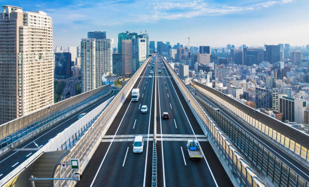
Live counts, speeds, classifications, and turning movements stream directly into your TMC. Adjust signal timing, validate before-and-after studies, and respond to corridor incidents without waiting weeks for an after-the-fact report.
The same sensor that captures rush hour also drives adaptive signal timing and ramp metering when you're ready to layer those on.
Occupancy by lot, by lane, by curb, updated every second. Drive dynamic pricing, find available truck parking, manage event surges, and stop sending enforcement officers chasing data that's already stale.
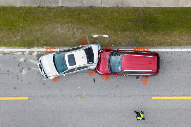
Wrong-way drivers, work zone intrusions, school zone speeders, and pedestrian conflicts flagged in under a second. The same sensor that counts cars at noon catches the wrong-way driver at 2 AM.
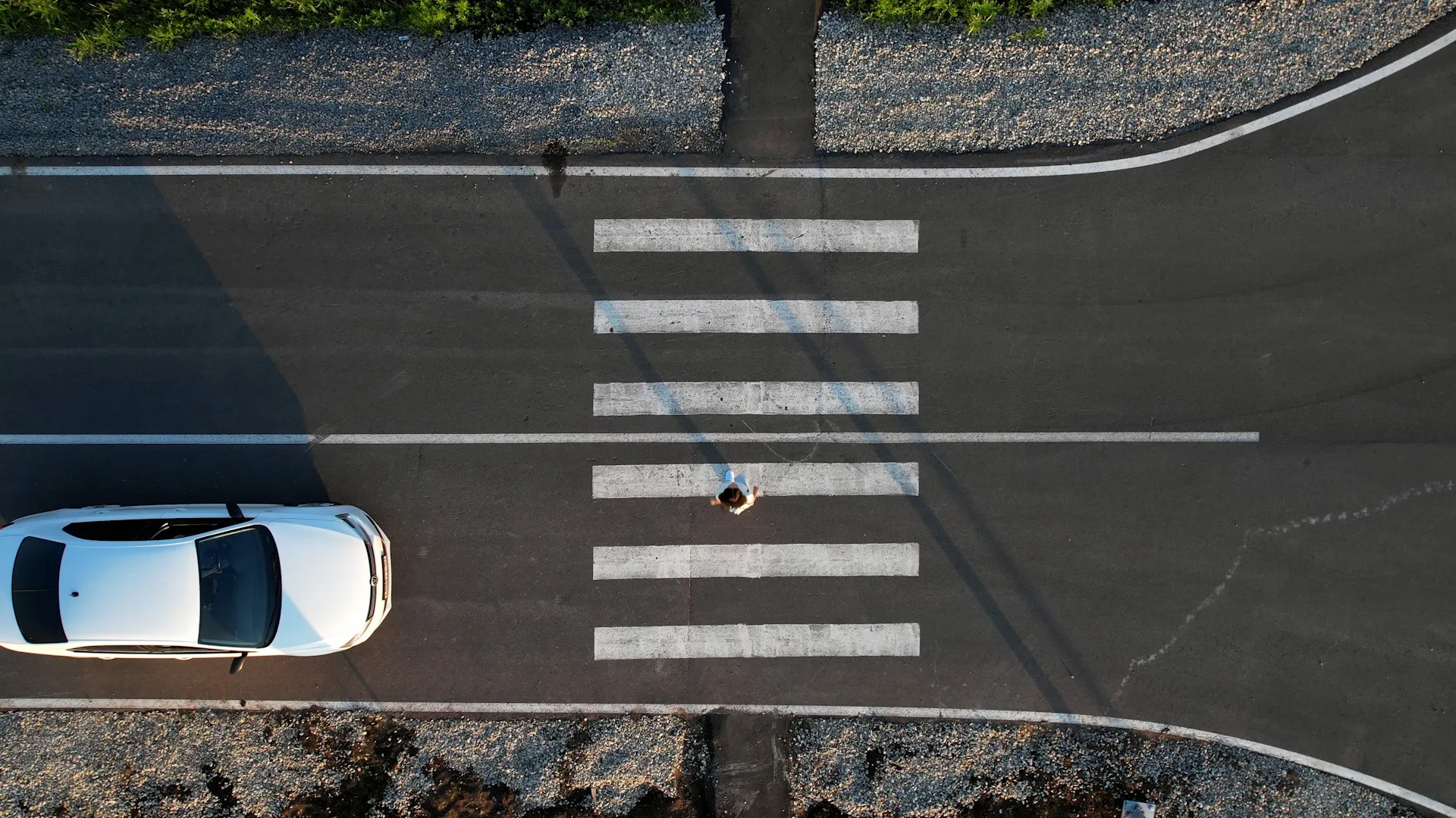
Detect approaching buses and emergency vehicles for signal priority. Track pedestrian and cyclist counts for Vision Zero. Measure mode split across the network without standing up another sensor program.

Long-term datasets without the survey crew. The same FusionSensor that powers daily operations is also the data source for capital planning, grant applications, and corridor master plans.
One sensor platform across every department. Let's map your first pilot corridor and the rollout that follows.
Yes. FusionSensor was built to feed your existing platforms, not replace them. It streams native JSON, XML, NTCIP, SDLC, and MS2 over Ethernet, LTE, or WiFi, so your TMC, ATMS, parking platform, and ITS dashboards see better data without a new master platform underneath.
TrueEdge runs every analytic in parallel on the sensor itself. The same hardware that counts cars, classifies them by FHWA class, and tracks speeds can also flag wrong-way drivers, work zone intrusions, and pedestrian conflicts at the same time without performance loss.
All processing happens on the sensor itself. Only structured, anonymous data (counts, classes, speeds, occupancy, alarms) leaves the device. No video streams to the cloud, no personally identifiable information, no license plate capture unless you explicitly enable it.
Single-corridor pilots can be live in weeks (one sensor, one ATMS integration). Citywide rollouts scale over months as you wire in adjacent corridors, parking, school zones, and work zones, all on the same platform you piloted.
No. The whole point of FusionSensor is that your existing TMC, ATMS, ITS dashboards, parking platform, and incident management systems all keep working. FusionSensor just sends them better, faster, and more complete data.
Each FusionSensor installs in under an hour on poles, rooftops, or light masts. It weighs 1.72 pounds, uses 12 to 15 watts average over PoE 802.3at or 802.3bt, and carries IP66 and NEMA 4 ratings for outdoor deployment in any climate.
Running a city's signals, parking, safety systems, and planning from one shared layer of real-time data instead of separate vendor silos. The goal is operational: see conditions as they happen and respond, rather than reconstructing them from reports afterward.
Vehicle-to-everything: the exchange of data between vehicles and infrastructure, other vehicles, and road users, used to deliver hazard warnings and signal information directly to equipped vehicles. Roadside sensors supply the real-time detection that gives V2X messages something accurate to say.
The scalable pattern is multi-use sensors: one roadside device that handles counts, classification, parking, school zones, and incident detection, with analytics enabled per site. One box per use case multiplies poles, permits, and maintenance visits.
Roadside equipment that speaks open standards (NTCIP, SDLC, MS2, JSON, XML) so signals, signs, sensors, and management platforms exchange data without custom integration. Openness is what lets a city grow the system without vendor lock-in.
Federal programs including SMART grants, Safe Streets and Roads for All, HSIP, and CMAQ fund ITS deployments, and applications are stronger with real data behind them. Multi-use hardware also stretches those dollars, since one sensor serves several funded purposes at once.