
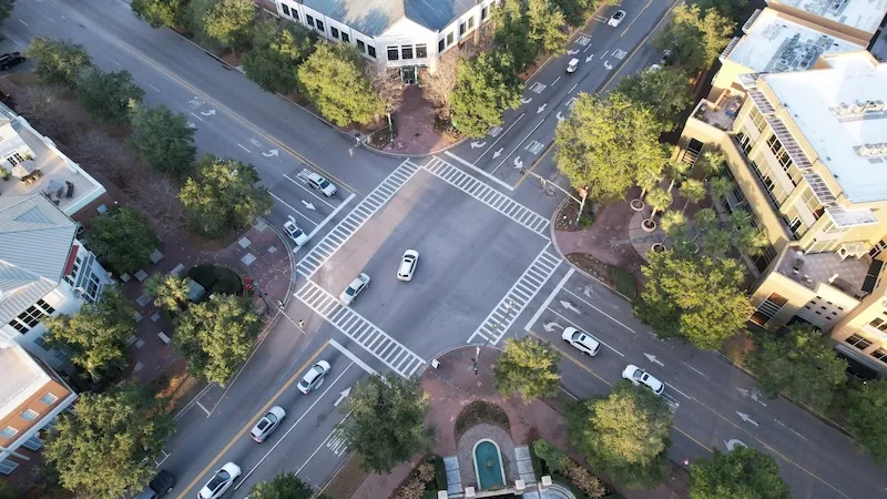
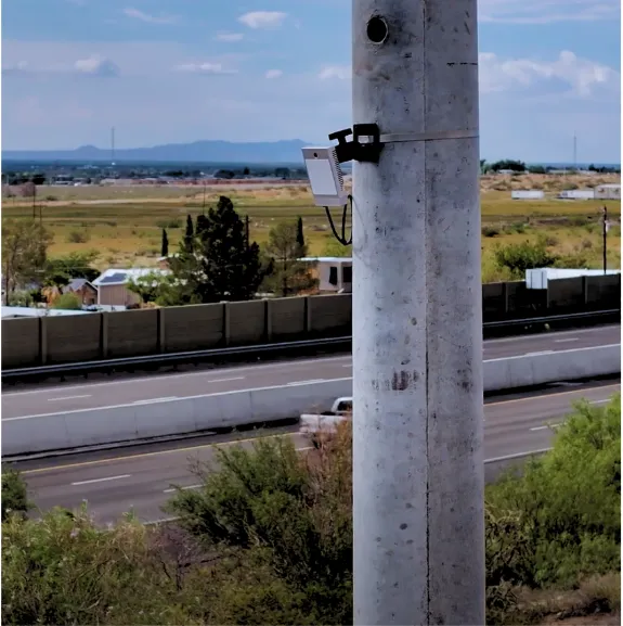
Roadside Traffic Sensors
Vehicle counts, FHWA classification, turning movements, speeds, and pedestrian flow streamed live from a single FusionSensor. No pneumatic tubes, no loop detectors, no manual count crews.
Traffic Counting Methods
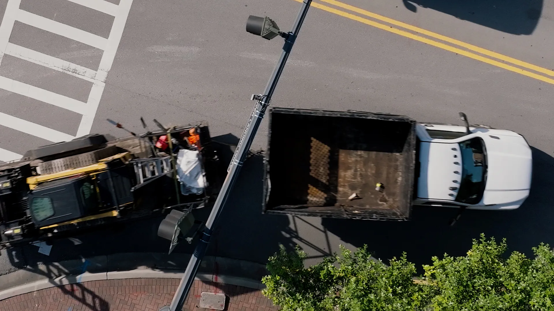
Risky road-tube deployments, counts that falter in congestion and bad weather, and slow turnaround leave agencies planning tomorrow's corridors with incomplete data.
Road tubes and loops miscount axles in stop-and-go traffic and misclassify vehicles in rain and snow. When traffic count accuracy slips, vehicle classification data and every study built on it inherit the errors.
Every tube count and loop install puts crews in live traffic lanes, and every new study means another truck roll, another lane closure, and another invoice. Recurring deployment costs make continuous traffic monitoring feel out of reach.
Volumes from tubes, speeds from radar guns, turning movement counts from cameras, classifications from another vendor. Fragmented traffic data collection forces agencies to stitch together mismatched datasets that never quite line up.
Traffic studies take weeks to compile, so decisions get made on conditions that no longer exist. Planners and engineers need continuous, real-time traffic count data, not a spreadsheet from last construction season.
Vehicle Classification Technology
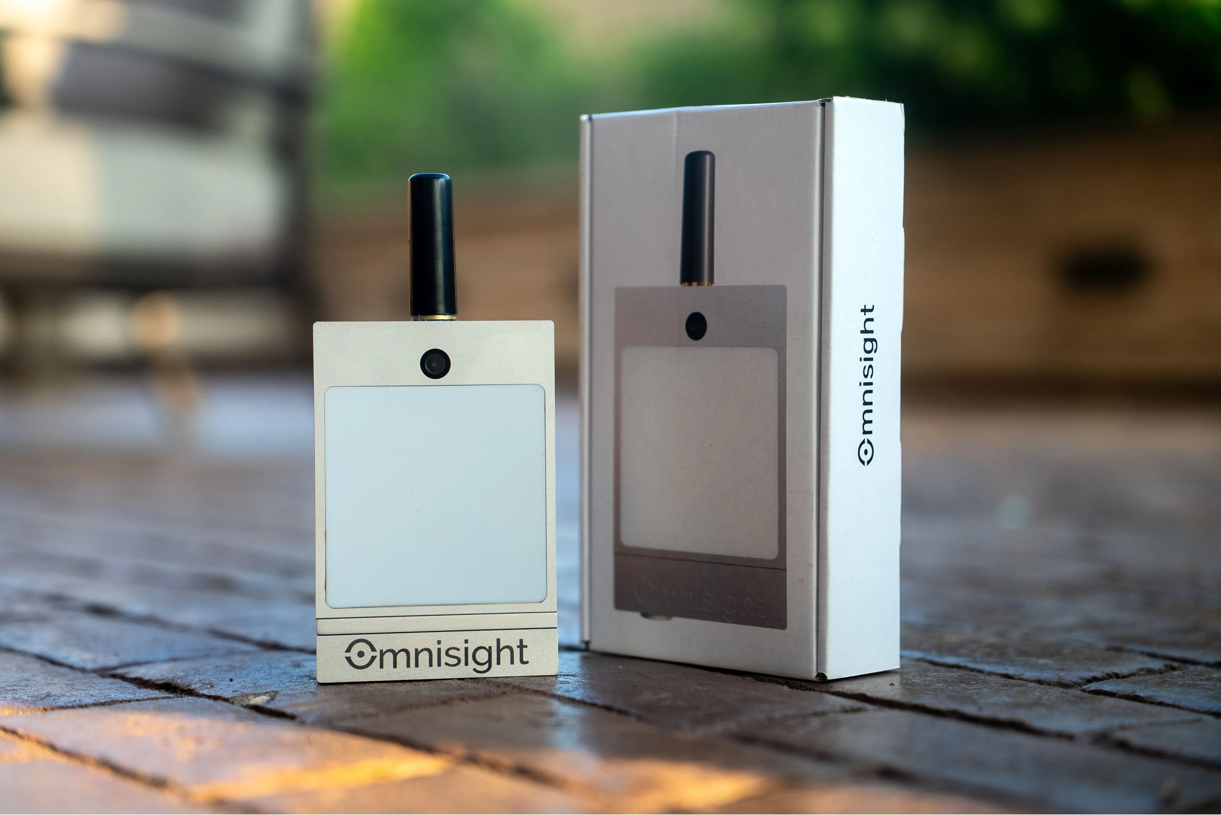
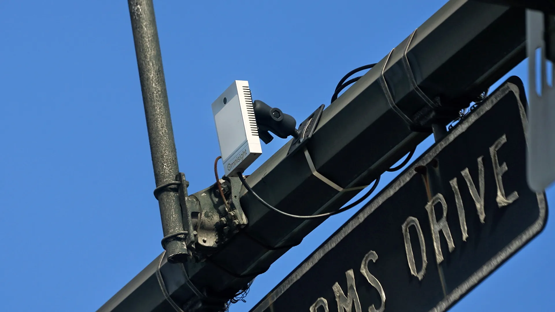
Omnisight FusionSensor combines HD3D radar, AI video processing, and cloud analytics for unmatched traffic intelligence.
Weather resistant HD3D radar captures volume, speed, and classification data across up to 6 simultaneous lanes with a 120 degree field of view and millimeter wave precision.
Advanced computer vision accurately detects turning movements, pedestrians, and cyclists in real time with sub degree spatial accuracy.
Process all lanes simultaneously without calibration or per lane configuration. Adapts automatically to lane widths and geometries.
Every detection is processed on device by TrueEdge and streamed in SDLC, NTCIP, MS2, JSON, XML, or binary formats. Integrates with ATMS platforms, traffic controllers, and Omnisight Connect dashboards.
From roadside capture to your traffic management platform, every step happens on the device in real time.
AI enabled HD video and HD3D radar in a single device detect, count, and classify every road user, from pedestrians to heavy trucks, with speed and direction.
TrueEdge technology processes sensor data directly on the device. No server round trips, no latency, no waiting for reports to land.
Instant alerts for crashes, queue buildup, and wrong way events. Dense continuous data for corridor studies, signal timing, and safety evaluations.
Transmit via Ethernet, Bluetooth, LTE, or WiFi. Slots into your existing traffic management platform with no rip and replace.
AI processed data lets universities, city planners, and DOTs study travel patterns, intersection safety, signal effectiveness, and road user counts with no costly manual studies.
Determine whether streets, highways, and intersections meet safety and flow objectives. Deploy multiple sensors for comprehensive corridor studies across city networks.
Watch Demo Video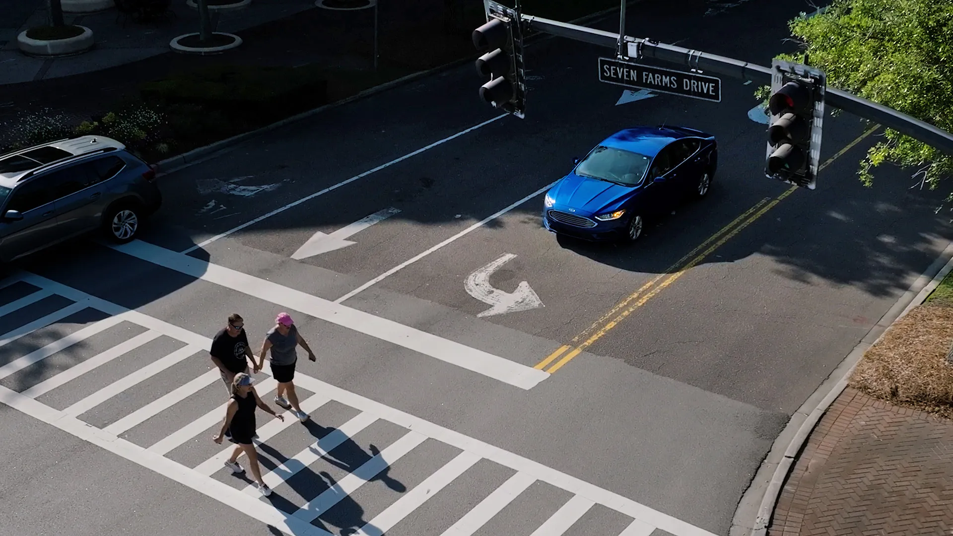
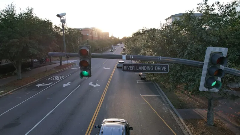
FusionSensor constantly monitors vehicle speeds, types, directions, and flow. If an incident or traffic jam occurs, it alerts the right authorities in seconds.
Real-time alerts trigger dynamic message signs, traffic controllers, and ATMS platforms, helping clear congestion before it cascades and getting incident response on-scene faster.
Capture pedestrian and cyclist counts, crossing patterns, waiting times, and signal compliance: the inputs Vision Zero analyses and safety studies actually need. No more manual observation hours under bad weather or single-peak field shifts.
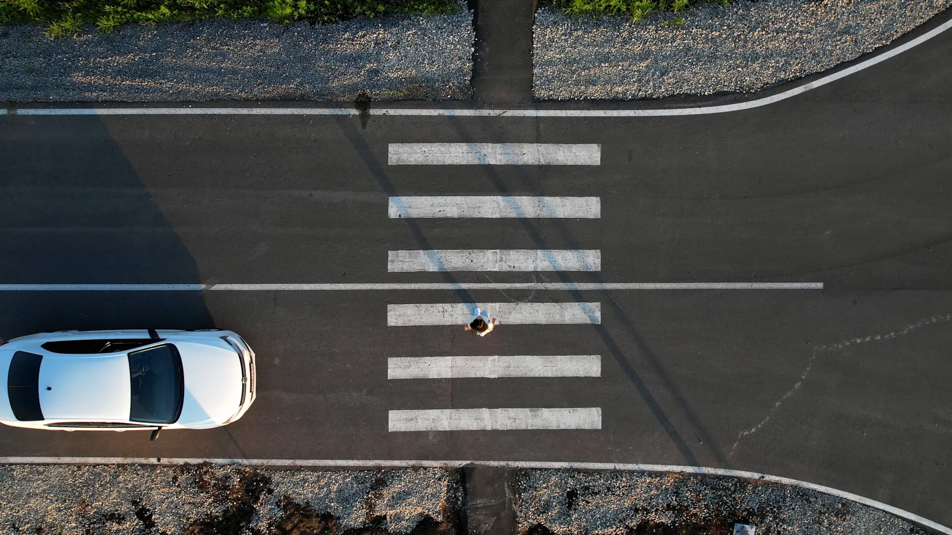
Track flow in both directions perfect for corridor studies, signal coordination analyses, and turn-restriction evaluations where the inbound/outbound split actually matters.
One unit covers both legs of an intersection or both lanes of an arterial without doubling hardware. Faster mobilization, fewer permits, and less field time per study.
Accurate vehicle counts form the foundation of any traffic study. Engineers need to know exactly how many vehicles pass through intersections or travel along specific corridors during different times of day. This data helps identify peak congestion periods and establish baseline metrics against which future traffic management solutions can be measured.
Speed data can reveal how effectively traffic is moving through the system. Consistently low speeds indicate congestion points where optimizing traffic flow should be prioritized. Speed variations can identify dangerous road segments where improving safety measures may be necessary.
AI-detected left, through, and right counts for every intersection movement, replacing weeks of manual TMC fieldwork with a multi-day deployment that captures every day of the week, not just one peak hour.
Traffic doesn’t distribute evenly across available lanes. Some lanes carry higher volumes, creating bottlenecks and merge conflicts. Lane usage data helps engineers identify opportunities to balance traffic through lane assignments, signage improvements, or adaptive traffic systems that respond to changing conditions.
Different vehicle types impact roadways differently. Trucks, buses, and passenger cars have unique effects on traffic flow, emissions, and infrastructure wear. Classifying vehicles accurately can help traffic engineers design intelligent transportation systems that accommodate the actual mix of traffic using a particular route.
FHWA Scheme F classification covering passenger cars, single units, combinations, motorcycles, and buses. Supports freight studies, truck percentage analyses, and any study where the vehicle mix actually drives the engineering decision.
FusionSensor is trusted by DOT agencies and consulting firms across North America. See how accurate, real time traffic intelligence can improve planning decisions.
Yes. FusionSensor was built to feed your existing platforms, not replace them. It streams native JSON, XML, NTCIP, SDLC, and MS2 over Ethernet, LTE, or WiFi, so your TMC, ATMS, parking platform, and ITS dashboards just see better data. No new master platform required.
FusionSensor achieves 98%+ count and classification accuracy across up to 6 simultaneous lanes with a 120 degree field of view per unit. Fused HD3D radar and AI video processing maintains performance day, night, and through rain, snow, fog, and extreme weather where legacy cameras or pneumatic tubes fail.
FusionSensor connects over a single CAT6 cable with standard RJ45 for both power and data using PoE 802.3at or 802.3bt. It streams directly to traffic controllers and ATMS platforms over 100BaseT Ethernet. Data is delivered in SDLC, NTCIP, MS2, JSON, XML, or binary formats, so it slots into existing traffic management systems without middleware or rip and replace.
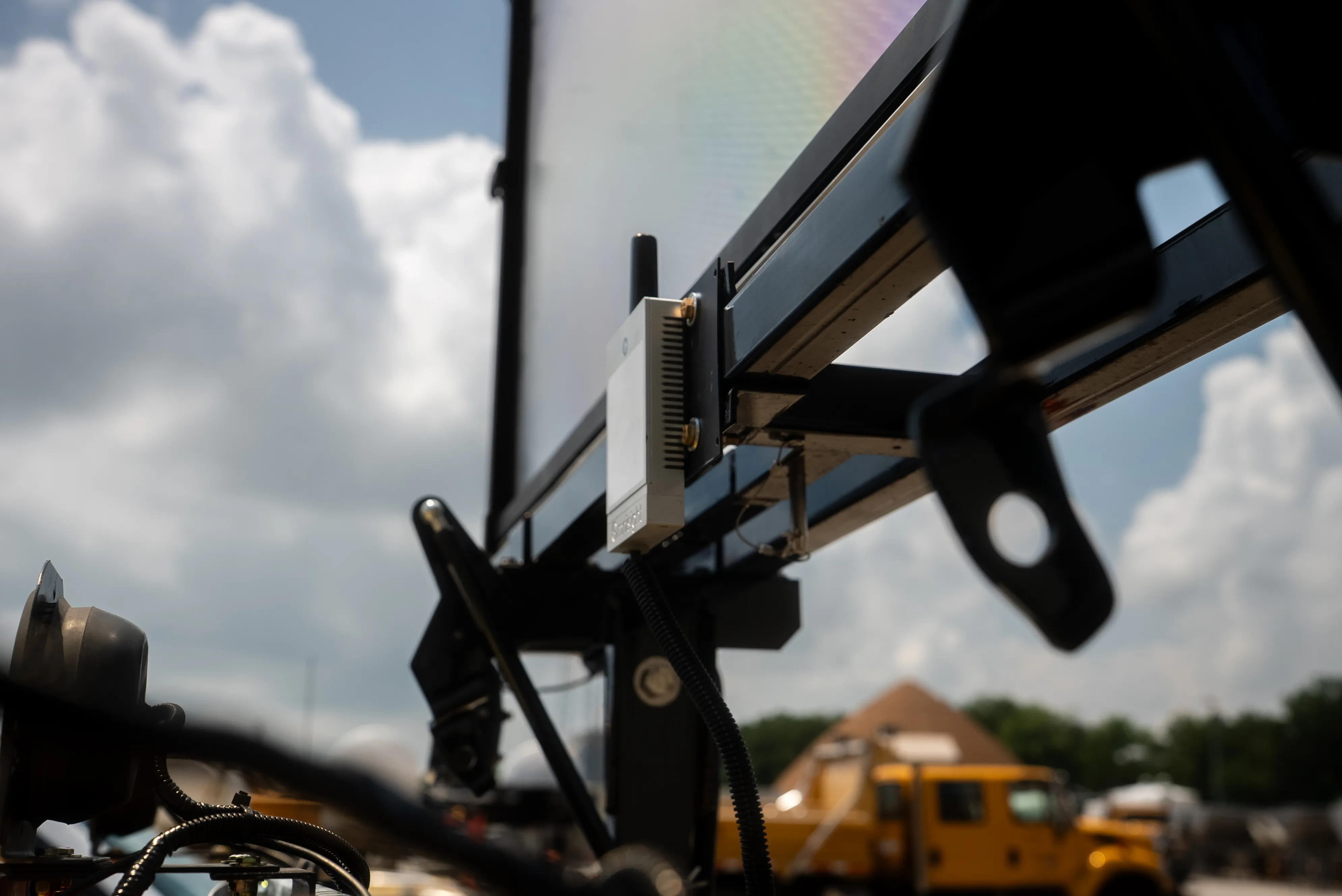
FusionSensor installs in under one hour using existing roadside infrastructure. Power and data are delivered over a single PoE 802.3at or 802.3bt connection, averaging 12 to 15 watts. The device weighs 1.72 pounds, mounts on poles, mast arms, or solar setups at heights from 8 to 30 feet (VESA 75 by 75 mm), and is rated IP66 / NEMA 4 with an operating range of minus 30 to plus 75 degrees Celsius.
Yes. FusionSensor automatically captures FHWA vehicle classification from motorcycles and passenger cars through heavy trucks with trailers. This supports tolling, emissions analysis, pavement design, and capacity planning without manual observation or post collection video review.
Yes. FusionSensor replaces costly manual traffic counts and turning movement studies with continuous 24/7 automated data collection. Every detection event is timestamped per vehicle, stored on device by TrueEdge, and delivered to your existing ATMS or to Omnisight Connect dashboards for reporting and trend analysis.
Roadside sensors detect each passing vehicle and stream counts, speeds, and classifications continuously to traffic systems, instead of storing data for later pickup the way road tubes do. FusionSensor does this with radar and AI vision fused on the device, publishing live over JSON, XML, NTCIP, SDLC, and MS2.
Manual counts, pneumatic road tubes, inductive loops, cameras, radar, and fused multi-sensor devices. Each earlier generation trades away something: tubes and loops miss classification detail, cameras degrade in weather and darkness, and manual counts are short and error-prone.
The Federal Highway Administration's 13-class scheme that sorts vehicles from motorcycles and passenger cars through single-unit trucks to multi-trailer combinations. Agencies rely on it for pavement design, freight planning, and federal reporting.
The sensor defines detection zones over each lane, radar registers every vehicle's position and speed, and AI vision confirms what the object is. Each vehicle is counted once per lane with a timestamp, class, and speed attached.
Signal timing, safety studies, pavement and corridor design, freight planning, and grant applications. The value compounds when collection is continuous, because the same feed answers both today's operations questions and next year's planning questions.