
Traffic Engineering Studies
Comprehensive traffic studies require more than just counting cars. A range of data points is necessary to understand traffic flow and identify areas for improvement.
Manual Traffic Count Limits
Traffic studies across the United States still depend on manual counts, pneumatic road tubes, and inductive loop detectors that were engineered for a different era. Today, DOT engineers, city planners, and transportation agencies need richer real-time data to design safer intersections, optimize signal timing, and support corridor studies.
Pneumatic road tubes and inductive loop detectors were designed decades ago for simple volume counts. They require regular maintenance visits, lane closures during installation, and deliver only basic data that modern transportation planning no longer considers sufficient for signal timing, corridor studies, or safety analysis.
Manual traffic counts, turning movement studies, and intersection observations rely on trained staff spending long hours in the field. Observer fatigue, blocked sight lines, and subjective classification produce statistically significant errors, inconsistent results between sites, and studies that expire the moment conditions change.
Legacy traffic data collection loses reliability in rain, snow, fog, and extreme heat. Cameras miss vehicles in low light, tubes break under seasonal freezes and thaws, and inductive loops fail after pavement repairs, forcing DOT engineers to restart expensive studies or accept incomplete data sets.
Counting cars is no longer enough. Transportation departments need turning movement counts, full FHWA vehicle classification, pedestrian detection, speed profiles, and simultaneous tracking across multiple lanes to support modern signal optimization, safety evaluations, and smart city initiatives. Legacy detectors cannot deliver this depth of traffic intelligence.
AI Enabled Traffic Counting
AI processed data lets universities, city planners, and DOTs study travel patterns, intersection safety, signal effectiveness, and road user counts with no costly manual studies.
Determine whether streets, highways, and intersections meet safety and flow objectives. Deploy multiple sensors for comprehensive corridor studies across city networks.
Learn More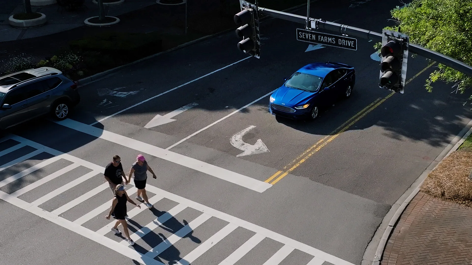
FusionSensor constantly monitors vehicle speeds, types, directions, and flow. If an incident or traffic jam occurs, it alerts the right authorities in seconds.
Real-time alerts trigger dynamic message signs, traffic controllers, and ATMS platforms, helping clear congestion before it cascades and getting incident response on-scene faster.
Traffic Study Sensors
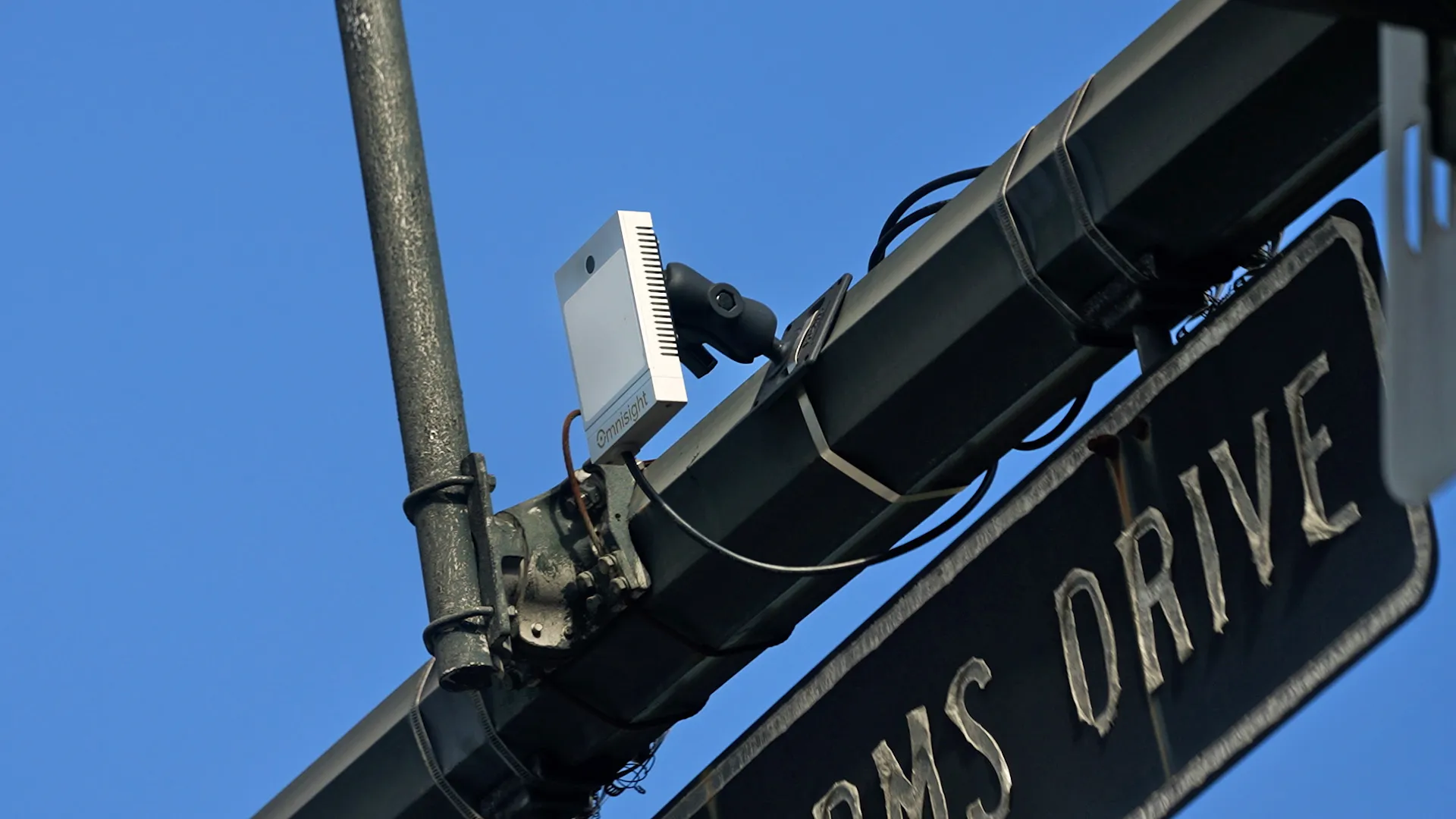
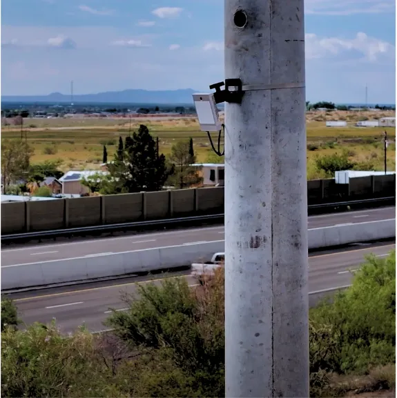
Traditional data collection tools often struggle to keep up with the complexities of modern traffic patterns. Omnisight combines HD3D radar with AI-enabled cameras to deliver accurate, real-time insights, even in challenging weather conditions.
The FusionSensor collects data 20 times per second, providing a detailed view of fast changing traffic conditions. Whether the study covers rush hour, special events, or long term observation, high frequency sampling captures the whole picture without gaps.
TrueEdge processes radar and AI camera data at the sensor level. Vehicles are classified, pedestrians counted, and data organized before anything reaches a server. No cloud round trip, no backend lag, no post processing delays for engineers.
Energy efficient and cost effective at just 15 watts, the FusionSensor runs continuously over long periods without rising energy costs. Ideal for both short term traffic studies and long term observation deployments along corridors and intersections.
FusionSensor outputs data in widely used formats including JSON, XML, NTCIP, and SDLC, ensuring easy integration with existing traffic management systems. Researchers and planners can analyze with the tools their teams already trust.
Turning Movement Counts
Accurate data is the backbone of effective traffic management. Traffic studies have relied on outdated methods that miss crucial details or require time-consuming processing for too long. Omnisight’s FusionSensor changes that by delivering fast, reliable data customized to the demands of today’s cities.
The Problem
Fixed signage and lane closures can't adapt to real-time conditions like weather, traffic surges, or worker movement.
The Insight
Cloud sensors and AI process billions of data points per second to detect anomalies and surface insights faster than human operators ever could.
The Shift
Real-time data redraws safety zones around workers, equipment, and traffic, adapting moment-by-moment to shifting conditions on site.
The Result
Crews stop incidents before they happen, turning every site into a continuously learning safety system that gets smarter with every shift.
Planning-Grade Data
Accurate vehicle counts form the foundation of any traffic study. Engineers need to know exactly how many vehicles pass through intersections or travel along specific corridors during different times of day. This data helps identify peak congestion periods and establish baseline metrics against which future traffic management solutions can be measured.
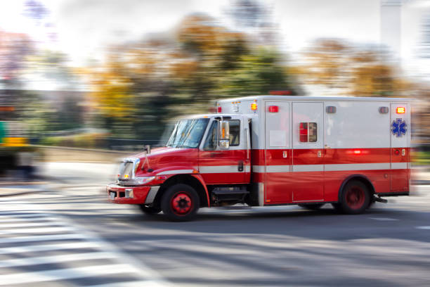
Different vehicle types impact roadways differently. Trucks, buses, and passenger cars have unique effects on traffic flow, emissions, and infrastructure wear.
Classifying vehicles accurately can help traffic engineers design intelligent transportation systems that accommodate the actual mix of traffic using a particular route.
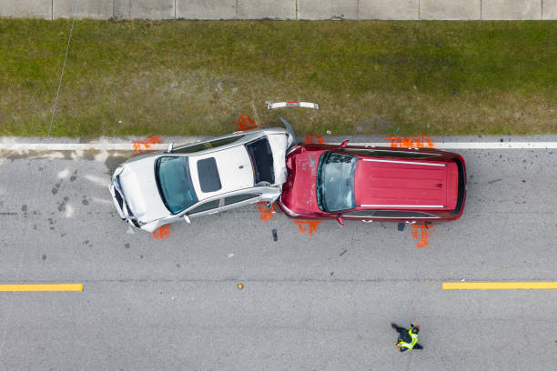
Speed data can reveal how effectively traffic is moving through the system. Consistently low speeds indicate congestion points where optimizing traffic flow should be prioritized. Speed variations can identify dangerous road segments where improving safety measures may be necessary.
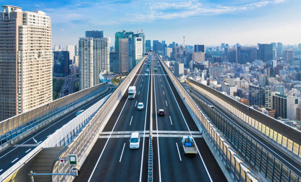
Traffic doesn’t distribute evenly across available lanes. Some lanes carry higher volumes, creating bottlenecks and merge conflicts. Lane usage data helps engineers identify opportunities to balance traffic through lane assignments, signage improvements, or adaptive traffic systems that respond to changing conditions.
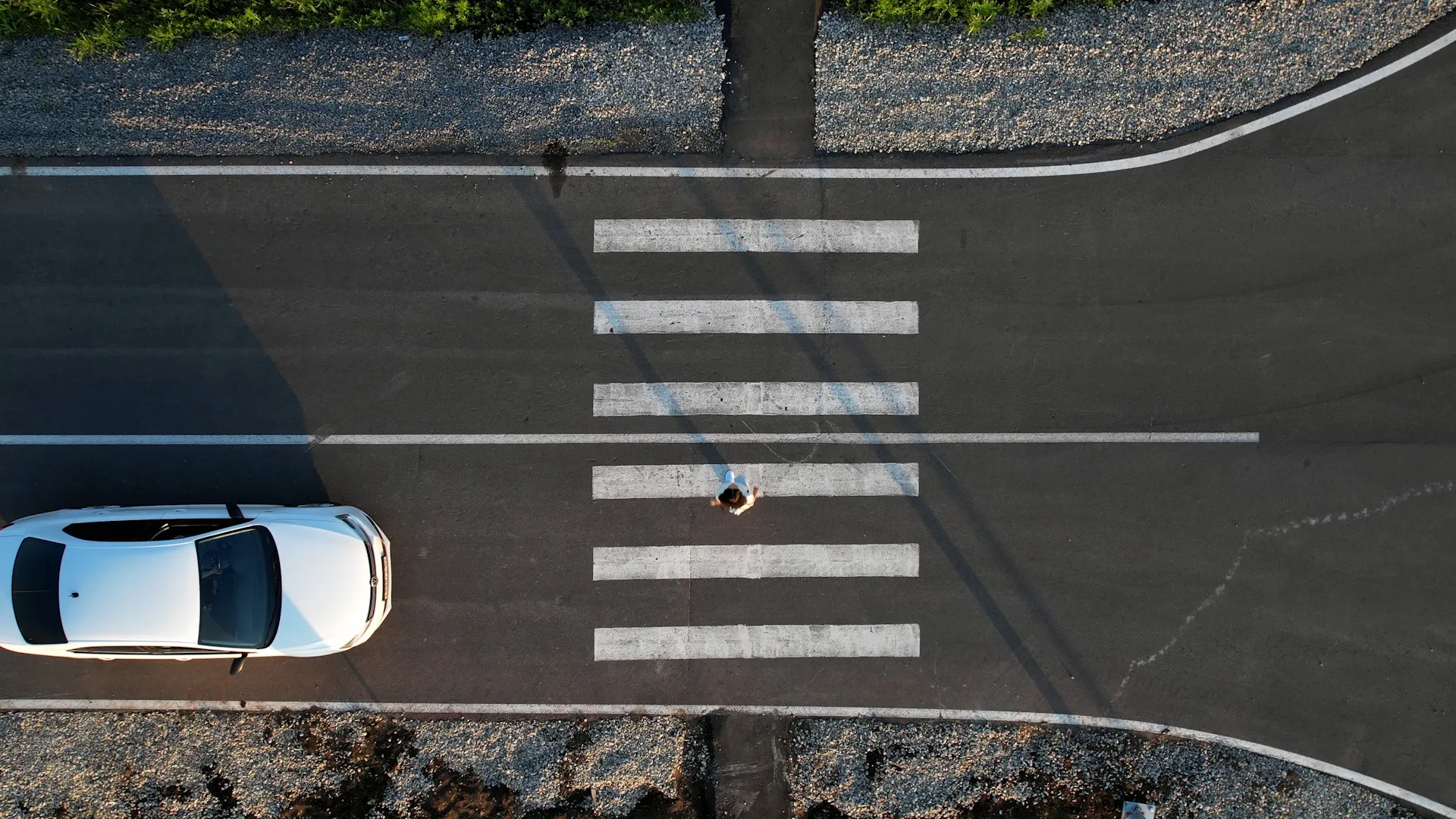
A traffic study must account for all road users, not just vehicles. Pedestrian movement patterns influence crosswalk timing, sidewalk design, and public transit stop placement. Understanding pedestrian volumes helps create balanced transportation networks that serve all community members safely and efficiently.
Schedule a meeting with one of our specialists. See how FusionSensor delivers complete turning movement counts, FHWA-compliant vehicle classifications, and corridor-wide volume and speed data in days, not months.
Turning movement counts, FHWA vehicle classifications, speed studies, volume counts, pedestrian counts, lane utilization, and parking occupancy, all from a single sensor running simultaneous data streams.
FusionSensor is 98.7% accurate. TrueEdge AI handles classification, counts, speeds, and headways on the device at 20 times per second, with HD3D radar fused with 1080p AI vision.
Yes. HD3D radar pairs with AI vision so the sensor sees through rain, fog, snow, and direct sunlight where camera-only or LiDAR-only systems fail. Rated IP66 and NEMA 4, tested from -30°C to +75°C.
FusionSensor outputs JSON, XML, NTCIP, SDLC, and MS2 over 100BaseT Ethernet, CAT6 PoE, or 4G and 5G LTE. Data plugs directly into ATMS, TMC, and analytics platforms agencies already trust with no format wrangling or post-processing required.
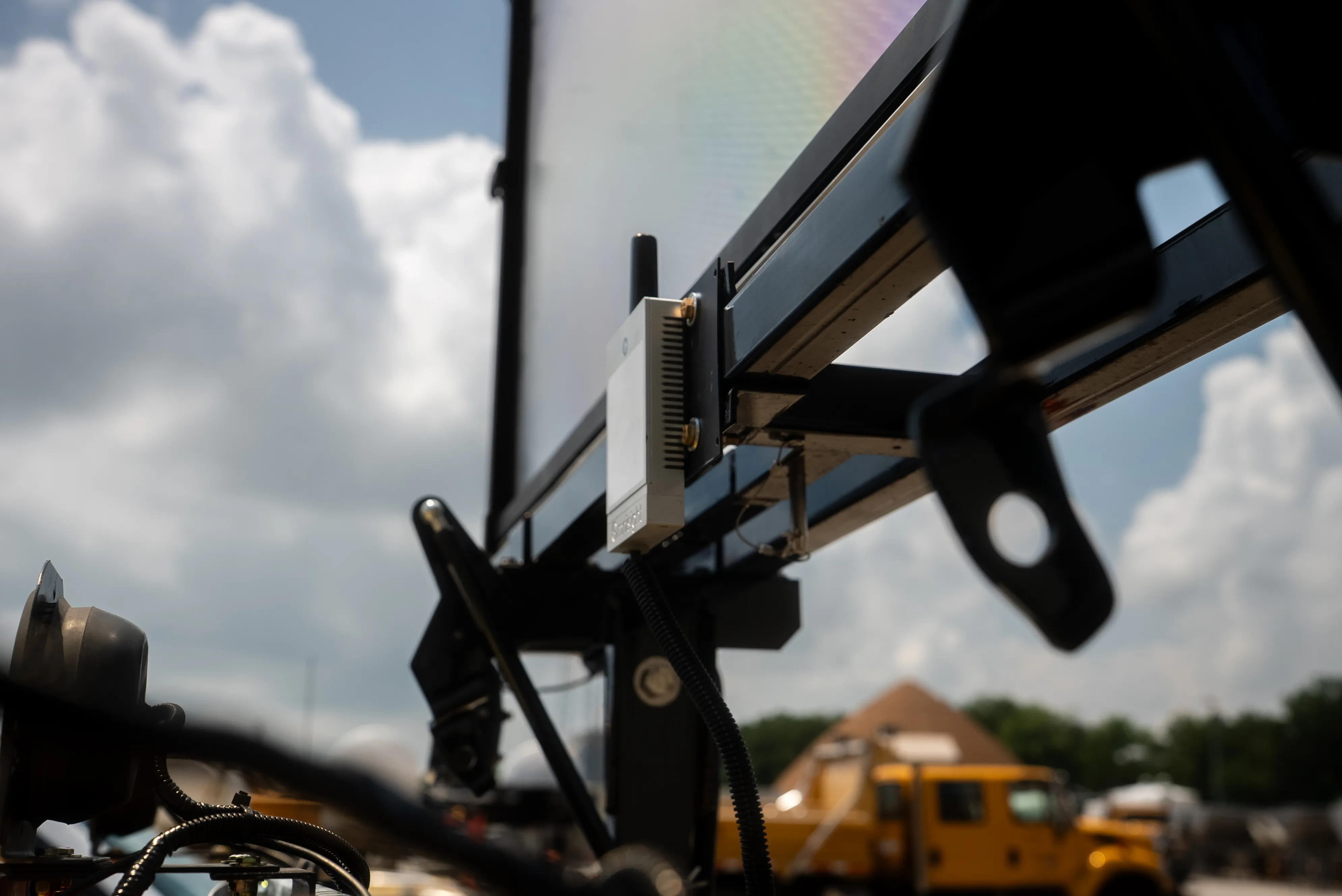
The FusionSensor mounts on existing poles or temporary tripods and runs on Power over Ethernet at 12 to 15 watts. A full traffic study can stand up in hours rather than days or weeks.
Yes. One FusionSensor can simultaneously run traffic studies, parking management, work zone safety, and people counting on the same device. Deploy once and capture every data stream the corridor needs.
Define the question first (safety, signal timing, development impact), then collect volumes, speeds, classifications, and turning movements at the study sites, then analyze the data against engineering standards to produce recommendations. Sensor-based collection replaces the manual count crews that used to dominate the field portion.
It depends on the number of intersections, the study duration, and the data types required. The biggest cost driver has traditionally been field labor for manual counts, which is why a sensor that collects every data type continuously changes the economics of a study.
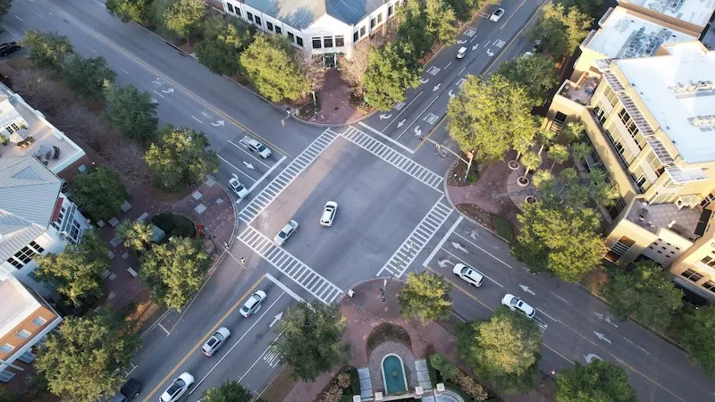
A TMC records how many vehicles turn left, go through, and turn right at each approach of an intersection, usually broken out by vehicle class and time period. It is the foundational input for signal design and intersection capacity analysis.
Long enough to capture real variation. A single peak-hour or two-day sample misses weekday versus weekend patterns, weather effects, and event traffic; multi-day or multi-week continuous collection captures the full picture without extra field visits.
Data accurate and documented enough to support engineering decisions, grant applications, and public review: FHWA vehicle classes, speeds, peak-hour volumes, and pedestrian counts with timestamps. Continuous sensor data meets that bar without the sampling gaps of manual methods.